

Abu Dhabi: In a surprising move, Google Maps has added Camel to its service.
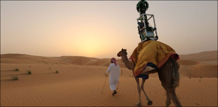
According to the details, Google has found an unusual solution to get 360-degree images of the Liwa oasis of Abu Dhabi. Liwa Oasis is not accessible by car, which is why Google had to choose a camel to carry its tracker camera there.
In places where Google’s Street View cars can’t reach, usually humans carry tracker cameras, but that wasn’t possible in Lewa Oasis, where Google used camels.

The camel from which the service is powered, said to be Rafa, is the first animal used in this way, Google spokeswoman Monica Baz said, to document the shifting sands of the Lewa Oasis. Using a camel is the most appropriate method.
In the interview, the Google spokesperson said that the tracker camera is designed in such a way that a camel can take it and take authentic pictures in the desert.
It should be noted that Google’s ‘Street View’ technology has enabled users to virtually explore famous landmarks, remote locations and even the depths of the oceans.